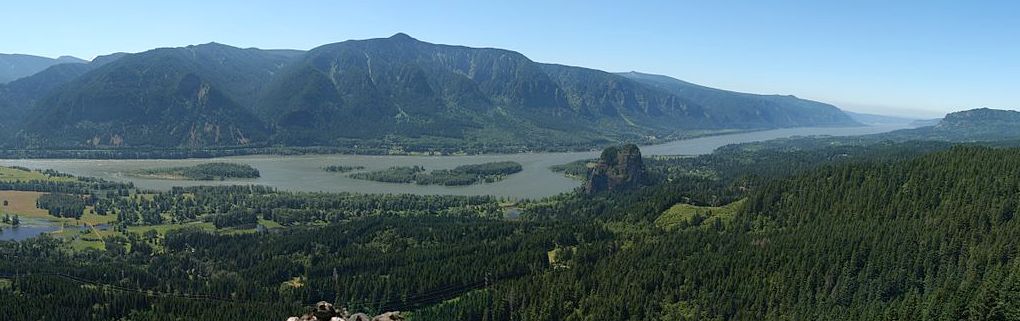
This site was created by Sam Churchill as a community resource. The goal is to collect 360 degree photos of the Columbia River Gorge and test spherical and Virtual Reality photo techniques. This site is not an official guide and is not affiliated with any Columbia Gorge organization. No claims to accuracy are made.
Design Approach

We plan to keep this site free of ads. This site uses responsive design so the content can be viewed on PCs, tablets and phones. A simplified mobile version of this site may developed so internet connections on the road would not be necessary.
We are experimenting with creating virtual tours using with Google’s 360 degree still photos as well as side-by-side images for immersive displays on VR headsets. Virtual Reality headsets like the $25 Google Cardboard, can provide an immersive experience by viewing images such as this one that move with your head position.
You can now download Street View on Google Maps for Android or IOS that lets you Browse 360-Degree Imagery as well as contribute your own photos. 360 degree spherical videos are also supported by YouTube. You can upload and playback spherical videos on on desktop Chrome. The $350 Ricoh Theta S camera shoots spherical videos that you can easily upload.
Embedding Google Streetview and Google Photospheres, available on Google Maps, is quite simple, requiring only pasting the embed codes. We hope to provide many original Photosphere-style (still) photos, hosted on our server or other sites such as You Tube that can format for both regular monitors and VR headsets.
Viewing embedded spherical photos on a headset like Google Cardboard is unwieldy because you have to view the web page without the headset on, click the link, then put on the headset. It would be better to design this tour as a stand-alone app. That way you could easily navigate through the tour keeping the headset on. That will have to come later.
When William Gruber and Harold Graves met at the Oregon Caves in 1938, they formed a partnership to develop View-Master. View-Master was introduced in Portland, Oregon in 1939. For more on the 75th anniversary of View-Master, see The Birth of View-Master. It was officially introduced at the New York World’s Fair in 1939.
The following technology was used to create this site:
Host software:
1. WordPress content management hosted on a Dreamhost server.
2. WordPress plugins that allow embedded 360 videos including Panopress and WP Photo Sphere
Camera Hardware:
1. Sony A-6000 APS camera ($500)
2. Rokinor 8mm fisheye lens ($200)
3. Beike swivel for centering the nodal point. ($99)
4. Tripod collar ring for mounting the camera vertically ($10)
Panoramic Software:
1. Hugin Stiching software (free)
2. PT Gui Pro ($175)
3. Photomatix Pro ($99) An HDR program that’s not really essential
I like PT Gui because it reads my RAW Sony files and can create HDR panos from 3 different exposures, as well.
Content
1. Archive.org (audio and video clips)
2. Web resources for travel and trail information
3. Original photos and natural sounds
I’m learning as I go. At this point it’s not clear what the outcome of this experiment will be. Embedding 360 photos on this WordPress site (with the proper plugin) lets me publish my photos here. Google Maps with Street View will let you view geo-located 360-degree photos or step inside museums and businesses, but searching: “Columbia River Photo Spheres” will pull up only a limited number of 360 photos.
Alternatively, Photosphere sharing is available on Flickr through an equirectangular photo pool, while SphereShare.net has a sharing site with an Android application for viewing or uploading Photospheres with map views of 360 photos.
Ultimately, a stand-alone WebVR site designed around a VR-enhanced web browser might be possible. MozVR is a Web VR navigation interface which uses Firefox with VR and a compatible VR headset.
I hope you enjoy it.